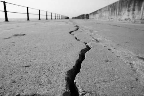
Magnitude 5.7 Earthquake Hits Hawaii
A 5.7 magnitude earthquake rocked the Big Island of Hawaii on Friday afternoon, the U.S. Geological Survey reports. The earthquake, which struck 23 miles below sea level at coordinates of 19.188°N 155.493°W, happened at 12:06 p.m. at southwest Pahala.
Within the first hour of the earthquake, the quake could be felt as far as 280 miles away. According to the USGS Interactive Map, people in the northeast town of Kailua-Kona, which is about a 71-mile drive from Pahala, also felt the shaking.
Derek Nelson, the manager of the Kona Canoe Club restaurant in the oceanside community on the island’s western side, said of the quake, “It shook us bad to where it wobbled some knees a little bit. It shook all the windows in the village.”
The earthquake might have also caused a power outage, as Darren Pai, spokesperson for Hawaiian Electric Company said that an outage affecting hundreds of customers in Naalehu seemed to have been connected to the earthquake.
Per the USGS, aftershocks have been reported in the area affected by the earthquake and might still be experienced in the coming days or weeks. However, the quake’s intensity does not give off signs of damaging any buildings. There is also no tsunami threat, according to authorities.
AN EARTHQUAKE HAS OCCURRED WITH THESE PRELIMINARY PARAMETERS
ORIGIN TIME – 1007 AM HST 09 FEB 2024
COORDINATES – 19.0 NORTH 155.5 WEST
LOCATION – OFF THE KAU COAST OF THE BIG ISLAND
MAGNITUDE – 6.3EVALUATION
NO TSUNAMI IS EXPECTED. REPEAT. NO TSUNAMI IS EXPECTED.
— Office of the Governor, State of Hawai`i (@GovHawaii) February 9, 2024
Explaining the possible cause of the earthquake, the USGS said in a statement, “This earthquake is likely associated with lithospheric flexure caused by the weight of the Hawaiian Islands on the oceanic lithosphere.”


